POP

Plateforme ouverte du patrimoine

Maison,12 rue de Pontivy (Baud)

Désignation

Dénomination de l'édifice

Maison

Titre courant

Maison,12 rue de Pontivy (Baud)

Localisation

Localisation

Bretagne ; Morbihan (56) ; Baud ; Pontivy (rue de) 12

Aire d'étude pour le domaine Inventaire

Baud

Canton

Baud

Adresse de l'édifice

Pontivy (rue de) 12

Références cadastrales

2000AH 562, 1049

Milieu d'implantation pour le domaine Inventaire

En ville

Partie constituante non étudiée

Cour ; jardin ; enclos

Historique

Siècle de la campagne principale de construction

Milieu 19e siècle

Description historique

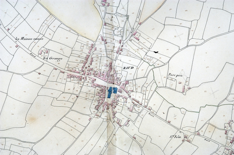
Maison construite au milieu du 19e siècle, figurant déjà sur le plan d'alignement de 1858. La maison qui la jouxtait à l'angle de la rue a disparu (1829, parcelle 1388).

Description

Matériaux du gros-œuvre

Granite ; enduit

Matériaux de la couverture

Ardoise

Description de l'élévation intérieure

Sous-sol ; 1 étage carré ; étage de comble

Partie d'élévation extérieure

Élévation ordonnancée

Typologie de couverture

Toit à longs pans ; croupe

Emplacement, forme et structure de l’escalier

Escalier de distribution extérieur : escalier droit, en maçonnerie

Commentaire descriptif de l'édifice

Maison à plan double en profondeur, enduite, à l'exception du soubassement en pierre de taille. Ordonnancée, avec trois lucarnes en pierre de taille, elle est couverte d'un toit à croupes. L'enclos est formé d'un muret avec grille et fer forgé et fonte.

Commentaires d'usage régional

Maison de type ternaire, variante à plan double en profondeur

Statut juridique

Statut juridique du propriétaire

Propriété publique

Références documentaires

Date de l'enquête ou du dernier récolement

2002

Date de rédaction de la notice

2005

Noms des rédacteurs de la notice et du dossier

Tanguy Judith ; Toscer Catherine

Typologie du dossier

Sous-dossier

Adresse du dossier Inventaire

Région Bretagne - Service de l'Inventaire du Patrimoine Culturel - 283 avenue du général Patton - CS 21101 - 35711 Rennes Cedex 7 - 02.22.93.98.35

1/2
Plan cadastral 1829, section AH (AD Morbihan, série 3P) ; Plan cadastral 1829, section AH (AD Morbihan, série 3P) ; Plan cadastral 1829, section AH (AD Morbihan, 3P) ; Plan cadastral 1828. Section (AD Morbihan, 3P) ; Plan cadastral 1829, section AH (AD Morbihan, série 3P) ; Plan cadastral 1829, section AH (AD Morbihan, série 3P) ; Plan cadastral 1829, section AH (AD Morbihan, série 3P) ; Extrait du cadastre ancien de 1829, section AH (A.D. Morbihan, série 3P) ; Plan cadastral 1829, section AH (AD Morbihan, série 3P) ; Plan cadastral 1829, section AH (AD Morbihan, série 3P) ; Plan cadastral 1829, section AH (AD Morbihan, série 3P) ; Plan cadastral 1829, section AH (AD Morbihan, série 3P) ; Plan cadastral 1829, section AH (AD Morbihan, série 3P) ; Plan cadastral 1829, section AH (A.D. Morbihan, série 3P) ; Plan cadastral 1829, section AH (AD Morbihan, série 3P) ; Plan cadastral 1829, section AH (AD Morbihan, série 3P) ; Plan cadastral 1829, section AH (AD Morbihan, série 3P) ; Plan cadastral 1829, section AH (AD Morbihan, série 3P) ; Plan cadastral 1829, section AH (AD Morbihan, série 3P) ; Plan cadastral 1828. Section (AD Morbihan, 3P) ; Plan cadastral 1829, section AH (AD Morbihan, série 3P) ; Plan cadastral 1829, section AH (AD Morbihan, série 3P) ; Plan cadastral 1829, section AH (AD Morbihan, série 3P) ; Le bourg, extrait du plan cadastral de 1829, section AH (A.D. 56, série 3P)
(c) Inventaire général, ADAGP
Voir la notice image
Vue générale sud-est ; Fig. 53 : 12 rue de Pontivy, logis de type ternaire à plan double en profondeur, vue générale sud-ouest
(c) Inventaire général, ADAGP
Voir la notice image