POP
Plateforme ouverte du patrimoine
Gendarmerie, 30 rue des fontaines (Baud)
Désignation
Dénomination de l'édifice
Gendarmerie
Titre courant
Gendarmerie, 30 rue des fontaines (Baud)
Localisation
Localisation
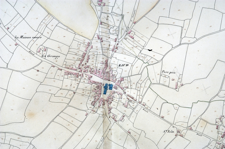
Bretagne ; Morbihan (56) ; Baud ; Fontaines (rue des) 30
Aire d'étude pour le domaine Inventaire
Baud
Canton
Baud
Adresse de l'édifice
Fontaines (rue des) 30
Références cadastrales
2000AH 579, 578
Milieu d'implantation pour le domaine Inventaire
En ville
Partie constituante non étudiée
Jardin ; écurie
Historique
Siècle de la campagne principale de construction
2e quart 18e siècle
Année(s) de(s) campagne(s) de construction
1740
Commentaires concernant la datation
Porte la date
Description historique
Gendarmerie construite en 1740, date portée sur le linteau d'une des portes du rez-de-chaussée. Elle est établie sur l'axe routier de Rennes, à la sortie de la ville. En prolongement à l'ouest, était construit un bureau en rez-de-chaussée : il a été démoli au milieu du 20e siècle. Les écuries, édifiées au sud sur le jardin sont contemporaines du logis, mais ont été très remaniées au 20e siècle. On ne sait à quelle époque la gendarmerie a été déclassée dans le domaine privé. Curieusement, elle ne semble pas figurer sur le plan de Detaille de Keroyand de 1784.
Description
Matériaux du gros-œuvre
Granite ; enduit
Matériaux de la couverture
Ardoise
Description de l'élévation intérieure
1 étage carré
Partie d'élévation extérieure
Élévation à travées
Typologie de couverture
Toit à longs pans ; pignon couvert
Emplacement, forme et structure de l’escalier
Escalier de distribution extérieur : escalier droit, en maçonnerie ;
Commentaire descriptif de l'édifice
Edifice en moellon aujourd'hui enduit, à double façade : la façade sur jardin au sud, destinée au logement des officiers, occupe le 1er étage situé au niveau du sol côté jardin. La façade sur la route possède un étage carré, le rez-de-chaussée servant au logement des troupes. La maison a plusieurs entrées (trois au rez-de-chaussée au nord, deux au sud), chaque pièce étant dotée d'une cheminée. Celle du rez-de-chaussée ouest est en granite, à double consoles en quart de rond. On accède aux logements sud par deux petits escaliers droits en maçonnerie, parallèles à la façade.
Protection et label
Intérêt de l'édifice
À signaler
Observations concernant la protection de l'édifice
Il s'agit de la première gendarmerie de cette époque trouvée en place le long d'une route royale du 18e siècle en Bretagne .
Statut juridique
Statut juridique du propriétaire
Propriété privée
Références documentaires
Date de l'enquête ou du dernier récolement
2002
Copyright de la notice
(c) Inventaire général
Date de rédaction de la notice
2005
Noms des rédacteurs de la notice et du dossier
Tanguy Judith ; Toscer Catherine
Cadre de l'étude
Typologie du dossier
Sous-dossier
Adresse du dossier Inventaire
Région Bretagne - Service de l'Inventaire du Patrimoine Culturel - 283 avenue du général Patton - CS 21101 - 35711 Rennes Cedex 7 - 02.22.93.98.35